York Beach Maine Trail Run up Mount Agamenticus
6 July 2024
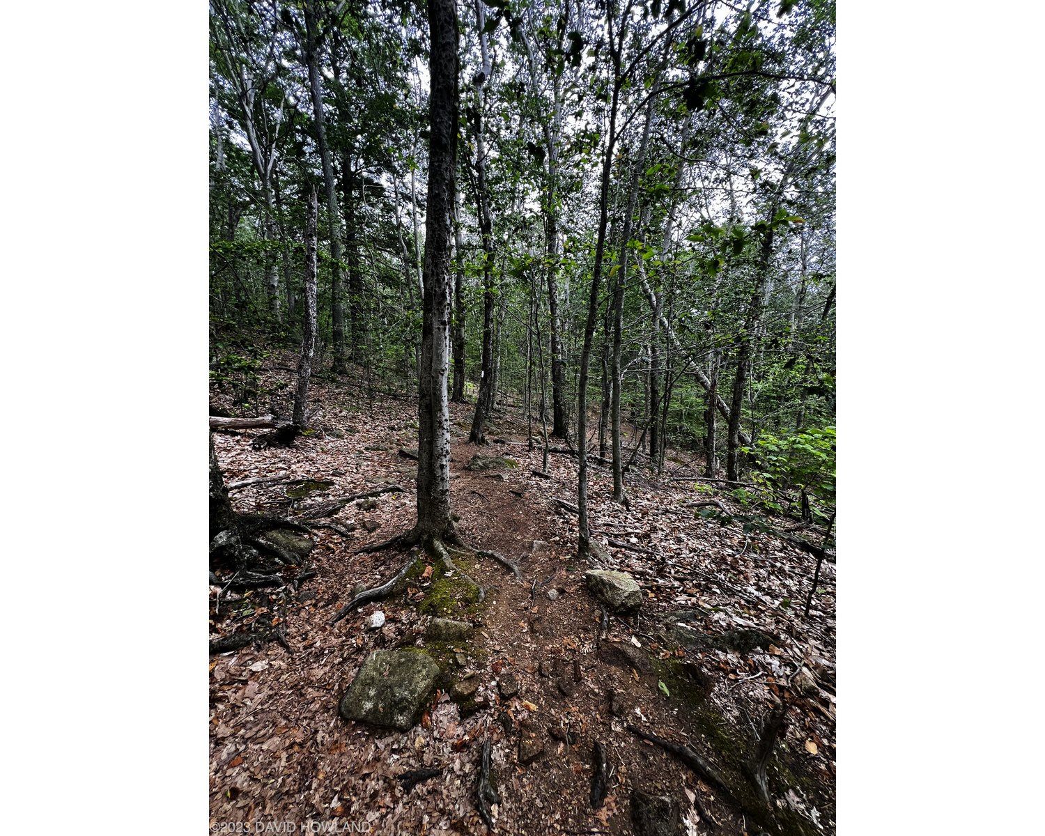
Every year my family goes on a vacation to York Beach in southern Maine. I’ve enjoyed running along the beach and around Cape Neddick for years (route link) but I was a bit flummoxed when I switched over to trail running. The area seems like it should be very flat and it’s densely developed to support the summer vacation crowds. However, on a road bike ride I found the Mount Agamenticus area thanks to the steep, paved summit road. It turns out the area is full of great running and biking trails as well! Agamenticus.org has a great trail map. This year I ran a little over four miles up and down two tough hills in a forest that felt a long way from the sand and waves of the York Beach area.
On our 2024 trip I ran a loop around the top of Second Hill and up Mount Agamenticus itself. The route starts at the new and giant parking lot at the base of the summit auto road. There are now parking pay stations but the available parking has also been dramatically increased. The trail starts out of the parking lot by the bathrooms and quickly climbs up the side of Mount A on the Ring Trail. After roughly half a mile I turned left and descended the slippery Rocky Road trail to Porcupine and followed this to a right turn that led me up Second Hill on the Ridge Trail. This trail had several steep switchbacks and lots of run running along granite rocks reminiscent of hiking in Adacia National Park.
At the top of Second Hill I followed the trail down to the next left turn onto the Short Line Trail which took me back to Porcupine through a lovely area of forest.

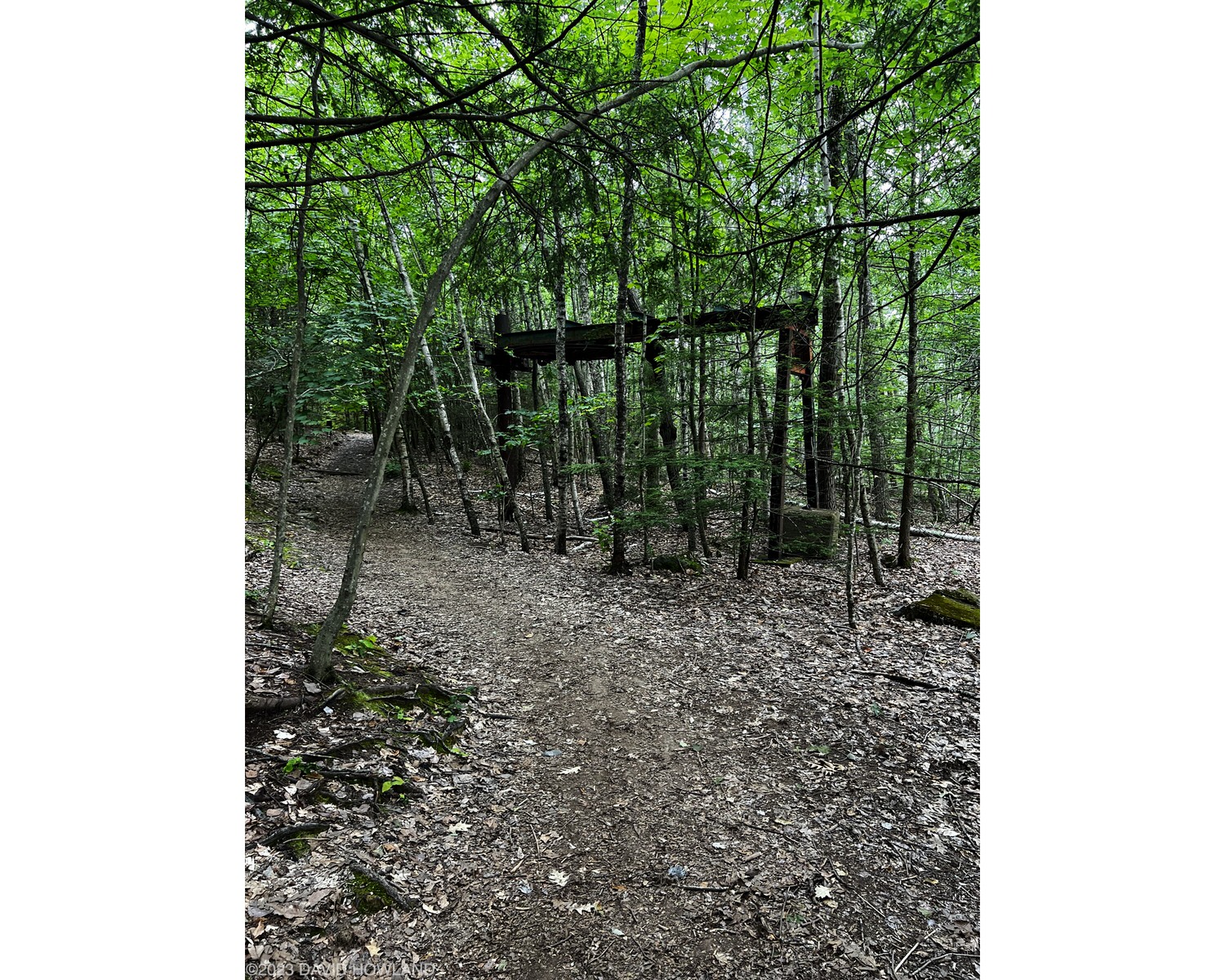
I stayed right to continue on to Chestnut Oak and then began the climb up Mount Agementicus on the Ring Trail, the steep slopes of Witch Hazel, and the switchback path of Big A. I’ve climbed up a few different routes on the north side of the mountain and this combo was by far the most runnable. Keep an eye out for the remnants of the abandoned ski area around the summit area.

I took a quick photo at the summit marker and then descended Big A around the parking lot to Fisher. This was another great find this year - way more fun to run than some of the other trails descending off the summit and much less slippery granite and roots. At the bottom of Fisher I turned left onto the Ring Trail and followed this back down the hill to the parking lot.
The total run measured 4.12 miles of hot and humid running with 827 feet of elevation gain up and down these steep hills and beautiful forest.
To make following the route while running much easier, you can download a GPX file here: Second Hill and Mount Agementicus. The routing out of the parking lot is a little weird but I’ve submitted a few updates to OSM that should be reflected shortly.